AI-Driven Time-Series InSAR for Ground Deformation and Geohazard Monitoring
This webinar presents an AI-driven approach to time-series Interferometric Synthetic Aperture Radar (InSAR) for monitoring and understanding Earth surface deformation and supporting geohazard assessment. It will provide an overview of the principles of InSAR... Read More
Drone mapping: at the crossroad of remote sensing, artificial intelligence and big data analytic
The technological development of sensors and electronic devices in the last decade has allowed the acquisition of higher-resolution and larger datasets with drone platforms in several applications. Despite the initial challenges in handling larger amounts of... Read More
From Polaris to Precision GNSS and LEO Navigation Satellites: The Evolution of Positioning for a Connected World
An engaging webinar exploring humanity’s journey in navigation—from using Polaris, the North Star, as a timeless guide to today’s Global Navigation Satellite Systems (GNSS) and the emerging role of Low Earth Orbit (LEO) navigation... Read More
Advancing Coastal Hazard Monitoring, Modelling, and Resilience Assessment from Space
This webinar will explore how satellite Earth observation, in-situ measurements, numerical modelling, and artificial intelligence can be integrated to monitor coastal hazards and assess resilience under a changing climate. It will highlight the use of... Read More
Earth Observation for Disaster Intelligence: From Satellite Data to Rapid Response
Earth Observation for Disaster Intelligence: From Satellite Data to Rapid Response presents the growing role of satellite-based Earth Observation (EO) in disaster risk reduction, monitoring, response, and recovery. The lecture highlights how optical, SAR, and... Read More
GeoAI in Geospatial Research: Challenges and Opportunities
Since its introduction in 2017, Geospatial Artificial Intelligence (GeoAI) has grown rapidly in remote sensing and GIS research. This technology does not just introduce a new topic; it changes how we approach geospatial science by prioritizing predictive... Read More
Geosynchronous SAR
The recent proposal to the European Space Agency for Hydroterra+, a geosynchronous SAR in C-band with small eccentricity, to study the evolution of the water vapour in the atmosphere, will be presented. Another possible solution, ARGOS, considering MIMO... Read More
Climate Change and Dust Monitoring from Space: Advancing Earth Observation for Resilience in Arid and Semi-Arid Regions
Arid and semi-arid regions are among the most vulnerable environments to climate change, land degradation, water stress, heat extremes, and atmospheric dust. This webinar will explore how satellite Earth observations, remote sensing, GIS, climate modeling,... Read More
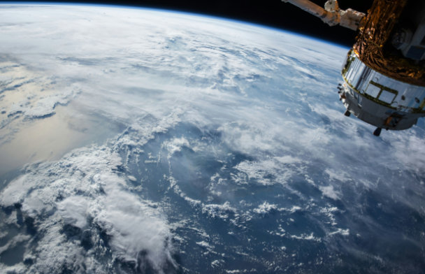
Beyond the Fringe: Pushing the Boundaries of Precision in Earth Observation
This webinar explores the frontiers of Synthetic Aperture Radar (SAR) Earth observation, moving beyond conventional InSAR to advanced techniques that redefine measurement precision. We know that multi-stack PSInSAR reveals millimeter-scale urban subsidence... Read More
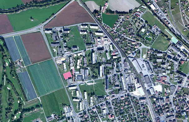
Artificial Intelligence and Machine Learning for Agriculture Analytics
AI/ML plays a crucial role in agriculture analytics, especially in geospatial crop monitoring and mapping. In your research-based talk, machine learning models will be covered for classifying crops using multi-sensor temporal datasets such as optical and SAR... Read More
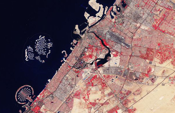
Empowering the NexGen of Geospatial Intelligence Through Public-Private Partnerships
Join us for an introductory webinar highlighting the latest updates and capabilities of the GIQ platform and related UAE space ecosystem initiatives supporting academic, startup, and R&D entities. The session will showcase how researchers and innovation... Read More
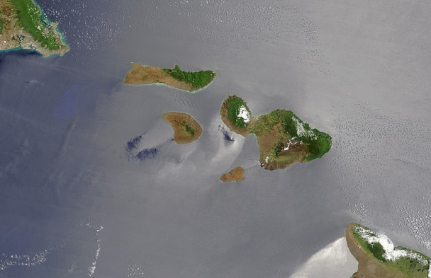
GeoAI for Environmental Management
Applications of various AI-based models for environmental management, including deforestation monitoring, urban tree cover change and canopy height prediction, forest health assessment, nature resources management, and a brief about advanced Foundation models... Read More
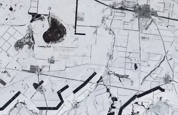
Open-Source GeoAI for Earth Observation: Practical Tools for AI-Driven Analysis and Visualization
The rapid expansion of Earth observation data from satellites, aerial platforms, and cloud-based archives has created unprecedented opportunities for large-scale environmental monitoring and analysis. At the same time, the volume, complexity, and velocity of... Read More
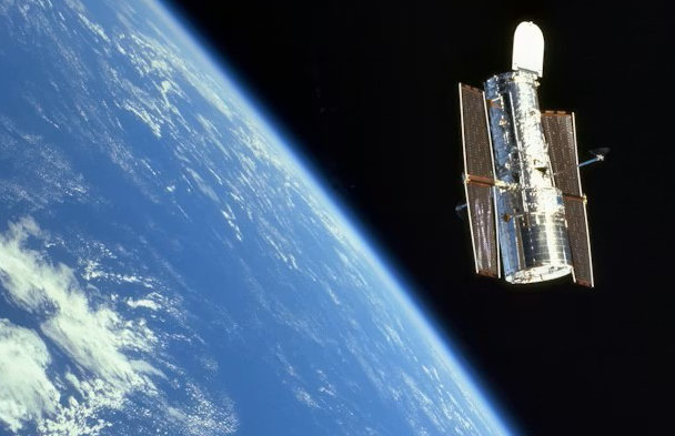
European Space Agency P-band SAR Mission Status One Year After Launch
The webinar will provide an update on ESA’s P‑band SAR mission one year after launch, highlighting its key characteristics and in‑orbit performance. It will showcase the first scientific results, including early insights into biomass mapping and subsurface... Read More
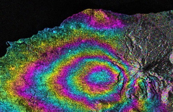
The contribution of satellite SAR observations for Geohazards and Disaster Assessment Mapping
Overview on how SAR data contributes to Geohazards mapping and Damage Assessment Mapping, indicating some initiatives, software and platforms that help its exploitation by final users and decision makers Read More
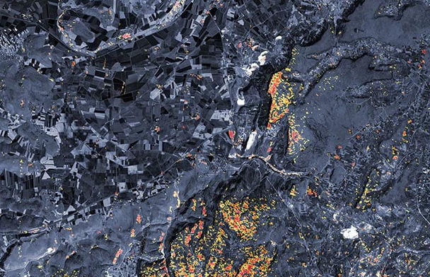
Operational Satellite Radar Interferometry (InSAR) Applications for Earthquake and Ground Deformation Monitoring
Earthquake-induced ground deformation and slow-moving geohazards such as subsidence and landslides pose significant risks across tectonically active and rapidly urbanizing regions. Through real case studies, the session will demonstrate how multi-temporal SAR... Read More
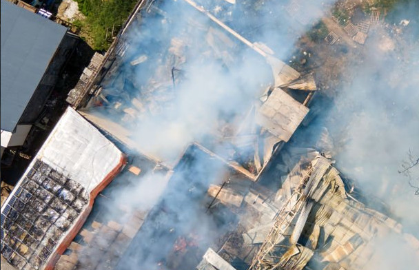
The Contribution of Satellite Data and Artificial Intelligence for Earthquake Response with damage mapping at building level
The presentation will touch down on how earth observation data is currently used to detect building damages following an earthquake event. It will focus on the use of damage detection deep learning algorithms with very high resolution optical data, through... Read More
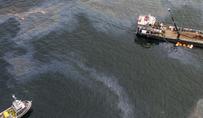
Advanced Oil Spill Trajectory Modelling for Environmental Protection
Current oil spill emergency response protocols employ standardized, universal strategies that fail to account for critical environmental variations, particularly water temperature effects on oil weathering behaviour. This research addresses this operational... Read More
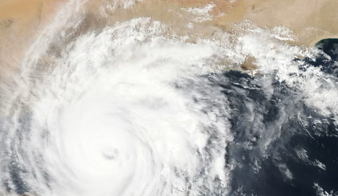
The Contribution of Satellite EO to Better Understanding Hazards and Disasters
Satellite Earth Observation (EO) can be used to detect, identify and measure parameters relevant to disaster risk management. This can help in different phases including disaster response and recovery and in other phases such as risk prevention and... Read More
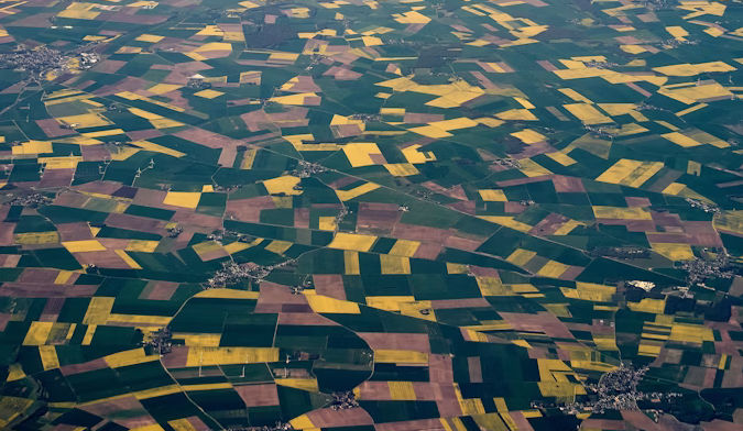
Crop Yield Prediction as an Early Warning Tool for Drought and Food Security Disasters
Timely and reliable crop yield prediction is a critical component of early warning systems for drought and food security disasters, particularly in climate-vulnerable regions such as Afghanistan. The country is highly exposed to extreme weather events, and... Read More