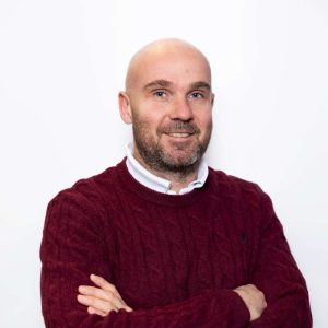
Prof. Francesco Nex
Full Professor in Real-time Geospatial AI at University of Twente
Prof. Francesco Nex is currently a Full Professor in the Geoinformatics Department at the University of Twente, holding the chair of real-time Geospatial AI. Francesco Nex received his master degree in Environmental Engineering (2006) and his PhD degree (2010) from the TU Turin (Italy). From 2011 to 2015 he was with the 3DOM unit of FBK (Italy) working as Marie-Curie Post-Doc in the CIEM Project from 2011 to 2014 and then as Researcher. In 2015, Francesco moved to the University of Twente, before as Assistant Professor and later as Associate Professor at the faculty of Geo-Information Science and Earth Observation (ITC). His research focuses on the development of innovative solutions fusing elements from photogrammetry, deep learning and adjacent domains such as robotics to innovation in the GeoSpatial domain. His aim is to integrate geometric and semantic information with other data sources, creating transferable solutions for real-world applications in disaster management, infrastructure monitoring, and precision farming. He was involved in several European and national research projects dealing with the use of UAV data for remote sensing applications. He coordinated the UAV centre of the University of Twente. He was the Chairman of the ICWG II/Ia (Autonomous sensing systems and their applications) of the ISPRS (International Society of Photogrammetry and Remote Sensing) from 2016 to 2026, and he was PI of several different ISPRS scientific and education initiatives. He chaired more than 20 conferences and workshops, and he is Associate Editor of the ISPRS Journal, Remote Sensing and Drones.