
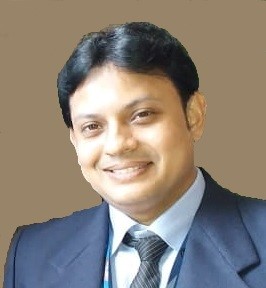
Dr. Surya Deb Chakraborty
MBRSC Lab
Dr. Surya Deb Chakraborty is a Remote Sensing and GIS expert, Earth Observation Scientist, and AI for Geospatial Innovation specialist, currently serving as a Senior Analyst at the MBRSC Lab, University of Dubai, where his work focuses on Earth Observation, disaster monitoring, environmental intelligence, and advanced geospatial applications. With 15+ years of experience across remote sensing, GIS, and Earth Observation, he has worked with leading organizations including ICRISAT (UN), NRSC–ISRO, MNCFC, RRSC–ISRO, the IISc–ISRO Space Technology Cell, and Esri India, contributing to research, professional training, and real-world geospatial solutions. He holds a Ph.D. in Remote Sensing/Geo-Engineering from NRSC–ISRO, an M.Tech in Remote Sensing from IIRS–ISRO, and an M.Sc. in Geography. His expertise spans SAR, thermal and hyperspectral remote sensing, disaster monitoring, urban climate, precision agriculture, environmental assessment, AI/ML, and geospatial analytics. He has delivered 400+ professional training sessions and trained more than 10,000 professionals, and in 2026 he served as an MBRSC-led trainer for Sentinel Asia, delivering hands-on training on Flood Mapping Using SAR Satellite Data in QGIS as part of the Sentinel Asia Joint Project Team Meeting. His research and professional contributions have received international recognition, including the Young Scientist Award/KIT Young Scientist Fellowship from Karlsruhe Institute of Technology, Germany, and most recently the Research Excellence Award from Environmental Scientists for his contributions to Remote Sensing and Environmental Science. His research has also been recognized through publications and international scientific contributions. His current research focuses on integrating AI, Earth Observation, and advanced geospatial analytics to develop practical solutions for disaster resilience, environmental sustainability, precision agriculture, and responsible space applications.