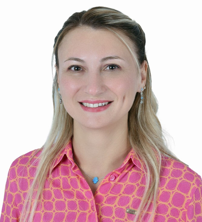
Dr. Dr. Fatma Canaslan Çomut
Division Manager – Earthquake and Disaster Risk Reduction at Governorship of Denizli Provincial Dire
Dr. Fatma Canaslan Çomut is a Cartography/Geomatics Engineer specializing in disaster risk reduction studies based on geodesy, remote sensing, radar interferometry, and Geographic Information Systems (GIS). She completed her graduate studies at the Department of Geodesy, Institute of Natural Sciences, Selçuk University in 2016. She has been working at the Denizli Provincial Disaster and Emergency Management Directorate since 2012. Since 2014, she has served as the Head of the Earthquake and Risk Reduction Branch, where she coordinates provincial disaster response and risk reduction planning processes. Her work integrates multi-temporal SAR interferometry and GIS-based spatial analysis for monitoring earthquakes, land subsidence, landslides, groundwater depletion, and infrastructure-related ground instability. Dr. Çomut actively participates in international collaborations and scientific events, contributing to the advancement of satellite-based disaster response methodologies.