Back to Webinars

Advancing Coastal Hazard Monitoring, Modelling, and Resilience Assessment from Space
This webinar will explore how satellite Earth observation, in-situ measurements, numerical modelling, and artificial intelligence can be integrated to monitor coastal hazards and assess resilience under a changing climate. It will highlight the use of next-generation satellite missions, including SWOT, to understand shoreline dynamics, extreme events, coastal erosion, and sea-level rise, with the Normandy coast of NW France presented as a case study. The session will also introduce the emerging concept of digital coastal twins, demonstrating how integrated observation and modelling approaches can support hazard forecasting, climate-change scenario assessment, and resilience-informed coastal adaptation.
Recording Not Available
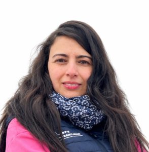
Prof. Imen Turki
Professor & Senior Researcher at Rouen Normandy University
Prof. Imen Turki is an expert in coastal oceanography, natural hazards, and shoreline evolution, specializing in the integration of satellite Earth Observation, numerical modelling, and in-situ data to monitor coastal dynamics and assess resilience. She is a member of the SWOT Science Team and co-leads coastal applications of the Surface Water and Ocean Topography (SWOT) mission (JPL–CNES). She also contributes as an expert to UNESCO’s Intergovernmental Oceanographic Commission (IOC) and represents France in an international UN Ocean Decade committee. Her current research focuses on combining Earth Observation, modelling, and artificial intelligence to develop Digital Coastal Twins for coastal hazard assessment, climate adaptation, and resilience.