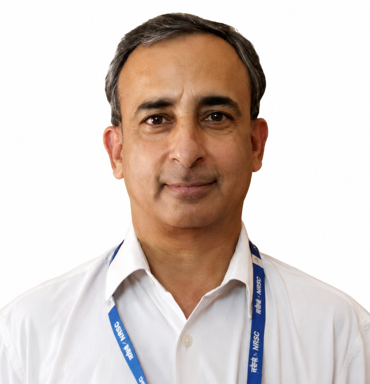
Anil Kumar
Group Head, Geo-spatial Technology & Program Outreach at The Indian Space Research Organisation (ISR
Anil Kumar is a scientist/engineer “G” and the Group Head Geo-spatial Technology and Program Outreach of Indian Institute of Remote Sensing (IIRS), ISRO, Dehradun, India. He received his BTech degree in civil engineering from IET affiliated to the University of Lucknow, India, and his M.E. degree as well as his PhD in soft computing from the Indian Institute of Technology, Roorkee, India. So far, he has guided 13 PhD theses, and six more are in progress. He has also guided several dissertations of MTech, MSc, BTech, and postgraduate diploma courses. He always loves to work with PhD scholars, Master's, and Graduate students for their research work, and motivates them to adopt a research-oriented professional career. He received the Pisharoth Rama Pisharoty award for contributing state of the art fuzzy based algorithms for earth observation data. His current research interests are in the area of soft computing-based machine learning, deep learning for single date and temporal multi-sensor remote sensing data for specific class identification and mapping through in-house development of the SMIC tool. He also works in the area of digital photogrammetry, GPS/GNSS, and LiDAR. He has written two books on ‘Fuzzy Machine Learning Algorithms for Remote Sensing Image Classification’ & Multi-Sensor and Multi-Temporal Remote Sensing-Specific Single Class Mapping with CRC Press. Won a challenge like Kritagya DA & FW Hackathon conducted by the Ministry of Agriculture, New Delhi, India, and Finalist of ‘ISRO immersion Challenge AI for Space and Geospatial conducted by NRSC-ISRO, Hyderabad, and IIIT Hyderabad.