Today

September 17, 2026 - November 9, 2026

September 2026
TUE 29
September 29, 2026 @ 10:00 am - 11:00 am +04

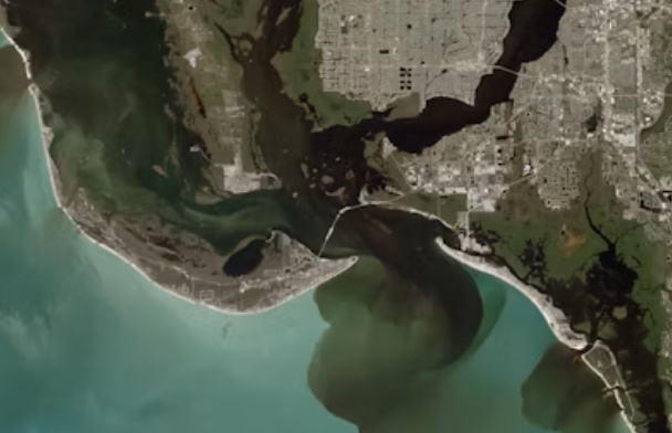
Advancing Coastal Hazard Monitoring, Modelling, and Resilience Assessment from Space

Virtual

This webinar will explore how satellite Earth observation, in-situ measurements, numerical modelling, and artificial intelligence can be integrated to monitor coastal hazards and assess resilience under a changing climate. It will highlight the use of next-generation satellite missions, in...

Advancing Coastal Hazard Monitoring, Modelling, and Resilience Assessment from Space
WED 28
October 28, 2026 @ 11:00 am - 12:00 pm +04

<p><span style="font-size:12px;">AI-Driven Time-Series InSAR for</span></p> <p><span style="font-size:12px;">Ground Deformation and Geohazard Monitoring</span></p>

Virtual

This webinar presents an AI-driven approach to time-series Interferometric Synthetic Aperture Radar (InSAR) for monitoring and understanding Earth surface deformation and supporting geohazard assessment. It will provide an overview of the principles of InSAR and multi-temporal analysis, in...

<p><span style="font-size:12px;">AI-Driven Time-Series InSAR for</span></p>

<p><span style="font-size:12px;">Ground Deformation and Geohazard Monitoring</span></p>
MON 9
November 9, 2026 @ 9:00 am - 3:30 pm +04

<p>Exploring the World Through ArcGIS:</p> <p>Imagery, GeoAI, and Reality Mapping</p>

Virtual

Discover how imagery can become a powerful source of insight with ArcGIS. In this workshop, you&rsquo;ll explore how to access, manage, visualize, and analyze a wide range of imagery, including satellite, aerial, drone, elevation, and raster data. You&rsquo;ll see how ArcGIS brings these d...

<p>Exploring the World Through ArcGIS:</p>

<p>Imagery, GeoAI, and Reality Mapping</p>