Today

July 29, 2026 - November 9, 2026

July 2026
WED 29
July 29, 2026 @ 10:00 am - 11:00 am +04

Geosynchronous SAR

Virtual

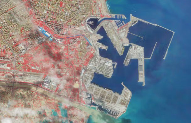
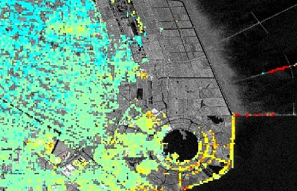
The recent proposal to the European Space Agency for Hydroterra+, a geosynchronous SAR in C-band with small eccentricity, to study the evolution of the water vapour in the atmosphere, will be presented. Another possible solution, ARGOS, considering MIMO formations, will be recalled. The...
Geosynchronous SAR
WED 12
August 12, 2026 @ 5:00 pm - 6:00 pm +04

GeoAI in Geospatial Research: Challenges and Opportunities

Virtual

Since its introduction in 2017, Geospatial Artificial Intelligence (GeoAI) has grown rapidly in remote sensing and GIS research. This technology does not just introduce a new topic; it changes how we approach geospatial science by prioritizing predictive power over scientific understanding...

GeoAI in Geospatial Research: Challenges and Opportunities
TUE 29
September 29, 2026 @ 10:00 am - 11:00 am +04

Advancing Coastal Hazard Monitoring, Modelling, and Resilience Assessment from Space

Virtual

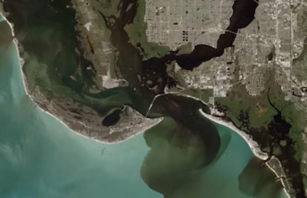
This webinar will explore how satellite Earth observation, in-situ measurements, numerical modelling, and artificial intelligence can be integrated to monitor coastal hazards and assess resilience under a changing climate. It will highlight the use of next-generation satellite missions, in...

Advancing Coastal Hazard Monitoring, Modelling, and Resilience Assessment from Space
MON 9
November 9, 2026 @ 9:00 am - 3:30 pm +04

<p>Exploring the World Through ArcGIS:</p> <p>Imagery, GeoAI, and Reality Mapping</p>

Virtual

Discover how imagery can become a powerful source of insight with ArcGIS. In this workshop, you&rsquo;ll explore how to access, manage, visualize, and analyze a wide range of imagery, including satellite, aerial, drone, elevation, and raster data. You&rsquo;ll see how ArcGIS brings these d...

<p>Exploring the World Through ArcGIS:</p>

<p>Imagery, GeoAI, and Reality Mapping</p>