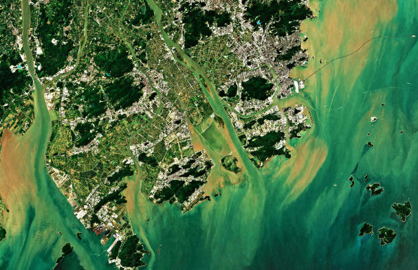
Exploring the World Through ArcGIS: Imagery, GeoAI, and Reality Mapping
Discover how imagery can become a powerful source of insight with ArcGIS. In this workshop, you’ll explore how to access, manage, visualize, and analyze a wide range of imagery, including satellite, aerial, drone, elevation, and raster data.... read more