WED
13
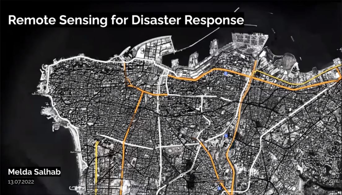
Remote sensing for disaster response
Virtual
Remote sensing data is an invaluable resource in providing critical insights before and after natural and human-made disasters. Prior to disasters, “primary” remote sensing data in the forms of optical imagery and SAR data can be used measure potential various hazards (e.g. floods, drought...