Back to Webinars
This webinar will present a decade of pioneering research from Salehi-Geolab, culminating in over 70 journal publications and nearly 100 presentations at esteemed international conferences. The focus of the webinar is to explore the integration of machine learning and computer vision techniques with remote sensing data, aiming to enhance our understanding of ecosystem dynamics influenced by human activity and climate change across urban, state, and national scales.
We will showcase our advancements in monitoring key ecosystems such as wetlands, forests, inland waters, and urban forestry, utilizing cutting-edge machine learning methodologies and big data analytics. Key highlights will include our national wetland classification initiative in Canada, utilizing SAR and multispectral imagery, alongside forest height and aboveground biomass estimation for the northeastern United States through space-borne LiDAR, SAR, and optical data, integrated with deep learning models. Additionally, we will present our innovative work in water quality monitoring, leveraging data from UAVs, field sensors, and satellites. The webinar will also feature our deep learning framework for the automatic 3D modeling of individual trees in urban and forest environments, which includes the detection and parameter estimation (e.g., volume, crown area, height, and biomass) using UAV LiDAR and photogrammetry.
Through this session, we aim to provide insights into the transformative potential of advanced remote sensing technologies and machine learning in environmental monitoring and management.
View Recording
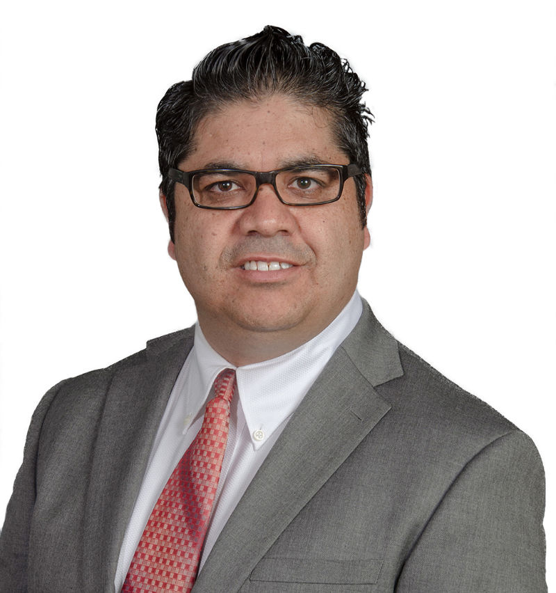
Dr. Bahram Salehi
Associate Professor of Remote Sensing Engineering and Graduate Students Coordinator at State Univers
Dr. Bahram Salehi is Associate Professor of Remote Sensing Engineering and graduate student’s coordinator at the State University of New York College of Environmental Science and Forestry (ESF). He holds a PhD in Geomatics Engineering - Remote Sensing from the University of New Brunswick, Canada (2012). With over 20 years of academic and industrial experience, Dr. Salehi is a globally recognized expert in remote sensing, specializing in artificial intelligence (AI) and machine learning for processing multispectral, radar, lidar, and UAV data to monitor environmental changes at regional and national levels. He is internationally recognized for his pioneering work in remote sensing of wetlands, including the development of high-resolution nationwide wetland inventory of Canada (2022). His current research focuses on ecosystem and environmental changes, particularly in forests biomass, urban trees, and water quality, leveraging AI and multisensor remote sensing technologies.
Dr. Salehi has co-authored more than 70 peer-reviewed journal publications, with over 6,400 citations and an h-index of 37 as of March 2025. He has mentored, as the principal advisor, 15 graduate students, including 10 PhD and 4 MS students and a postdoctoral fellow, and has extensive teaching experience in Geomatics Engineering and Remote Sensing across universities in Canada and the U.S.