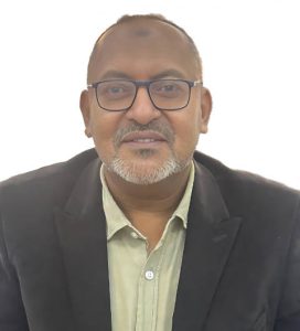
Dr. Anwarelsadat Elmahal
Senior RS/GIS Lecturer at University of Khartoum
He is a Sudanese specialist and a senior lecturer in remote sensing, GIS, data science, and their applications in geoscience. With approximately +10 years of expertise in the academic field, teaching a variety of graduate and undergraduate courses. These courses covered subjects such as remote sensing and GIS applications in hydrology, hydrogeomorphology, web-GIS, satellite digital image processing, geostatistics, spatial databases, spatial cloud computing, and research methodologies. With +15 years’ experience in UN and international organizations, such as UNICEF, FAO, and the European Commission, as a specialist in information management and GIS and backed by a solid geoscience, data science, and visualization experience. Member of the British Society for Geomorphology and active participant in the society’s annual meetings in the UK. With strong knowledge and interest in spatial cloud computing, land use, land cover change, and environmental risk mapping using Google Earth Engine with native [JavaScript, Python] and non-native [RGEE] APIs. With many publications in the field that could be accessed through his Google Scholar profile.