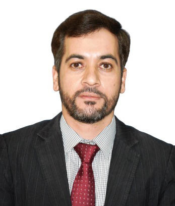
Dr. Munawar Shah
Professor at Institute of Space Technology
Dr. Munawar Shah is a Professor at the Institute of Space Technology, Islamabad, Pakistan. He held postdocs from KMITL, Chumphon Thailand, and Tongji University, China. He got his PhD in Geodesy from Shanghai Astronomical Observatory in 2017. He has published more than 100 peer-reviewed papers with more than 1500 citations in reputed journals and participated in several conferences for paper presentations at national and international levels. He successfully did the convenership of the EGU and Vice Chair of IAG-GGOS-FWG-JSG1 with an excellent young researcher award from COSPAR for publishing a paper in Advances in Space Research. Besides this, he is a reviewer of Scientific Reports, JGR, GJI, AISR, Remote Sensing, etc. He has successfully supervised more than 30 Master's students and 10 more students are currently working under his supervision. He is also the editor of Discover Geoscience and other special issues.