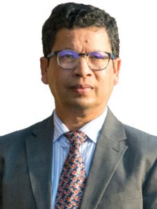
Mr. Kabir Uddin
GIS and Remote Sensing Specialist at International Centre for Integrated Mountain Development
Mr. Kabir Uddin has eighteen years of professional experience at the International Centre for Integrated Mountain Development (ICIMOD), Nepal, leading GIS and Remote Sensing environmental management. As a GIS and Remote Sensing Specialist at ICIMOD, he supervises and coordinates various aspects of GIS and remote sensing work. He is experienced in preparing a wide range of training manuals on mapping land cover, glaciers, flood hazards, and the suitability of flood shelters. He also conducts professional training in the Hindu Kush-Himalayan (HKH) countries. Mr. Kabir analyses optical and radar remote sensing data during flood disaster events for rapid flood inundation mapping and damage assessment systems. He works as a land cover thematic lead for SERVIR-HKH (a USAID-NASA Partnership), Land Cover and Ecosystem Services at ICIMOD to build the Regional Land Cover Monitoring System in close collaboration with various national and international organisations to generate consistent land cover maps on an annual basis. In addition, Mr. Kabir regularly publishes articles in peer-reviewed journals. Before joining ICIMOD, he worked as a GIS Expert at the Local Government Engineering Department (LGED), Bangladesh.