Satellite imagery is a pivotal source of valuable information for monitoring our planet along with natural resources. However, these images have an extreme acquisition cost. Nowadays, with the widespread of the advanced technology, unauthorized ordinary people can access these data, modify their content and utilize them illegally. Therefore, there is a massive demand for providing secure storage and transmission of such data. Hence, digital watermarking has been introduced for overcoming this illegitimate practice.
Event Closed
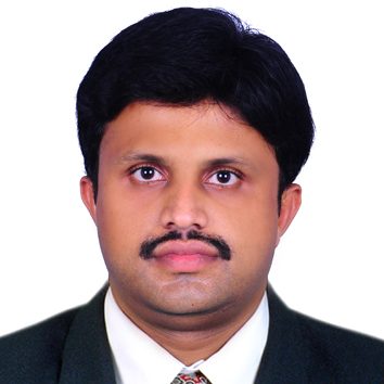
Dr. Alavikunhu Panthakkan
ASSISTANT PROFESSOR
Dr. Alavikunhu Panthakkan is a dynamic research scientist in electronics engineering and image signal processing. His research interests are in the areas of engineering education, copyright protection, authentication, medical image processing, video signal processing and artificial neural network. He received bachelor degree (B.Tech) in electronics and communication engineering, master degree (M.Tech) in electronics engineering and Ph.D. in electronics engineering. He has 4 years industrial experience and 7 years of teaching/research experience. He has published 20 papers in international conferences and journals. He is a member of Institute of Electrical and Electronic Engineers (IEEE), member of Institution of Engineers (India) (MIE), member of International Association of Engineers (IAENG), member of International Association of Computer and Information Technology (IACSIT) and member of Institute of Research Engineers and Doctors (IRED).
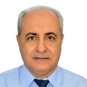
Dr. Nazmi Saleous
ASSOCIATE PROFESSOR OF REMOTE SENSING AND GIS DEPARTMENT OF GEOGRAPHY AND URBAN SUSTAINABILITY, UAEU
Dr. Nazmi Saleous holds a computer engineering degree (1987) and a Ph.D. in Electronics (1990) from the University of Science and Technology of Lille (France). He joined the United Arab Emirates University (UAEU) in August 2006 where he currently holds a position of Associate Professor of Remote Sensing and GIS in the Department of Geography and Urban Sustainability. He serves as the coordinator of UAEU’s Master of Science in Remote Sensing and GIS program. Dr. Saleous is involved in multiple research projects including the use of Geospatial technology in estimating carbon sequestration, and monitoring and modeling urban growth. Prior to joining UAEU, Dr. Saleous spent 14 years at NASA Goddard Space Flight Center where he conducted research on satellite data processing and the development of long-term remote sensing data sets for use in land and environmental applications. Dr. Saleous’ research interests are in the application of remote sensing and GIS for solving environmental and urban problems. They include remote sensing data processing, creation of data time series, land use and land cover change, carbon sequestration in plantations, desertification, and modeling of environmental processes using geospatial technology.