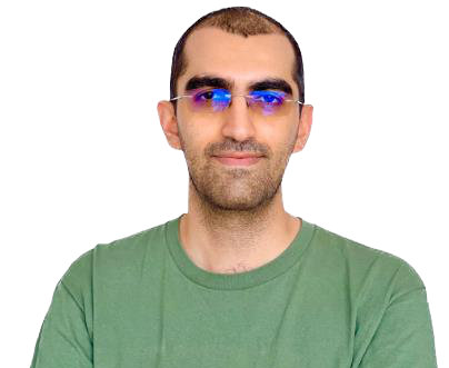
Dr. Amirhossein Ahrari
Researcher at University of Oulu
I have received bachelor's and master's degrees in Remote Sensing from the University of Tehran (Iran) between 2011 and 2018. As a remote sensing researcher, I worked at the Remote Sensing Research Center (RSRC) at Sharif University of Technology and FAO (Iran) between 2018 and 2020. Since then, I moved to Finland and started a PhD in Environmental Engineering, and received a PhD degree in 2025. My PhD thesis is entitled "Environmental Monitoring using Remote Sensing Data and Machine Learning". I am skilled in remote sensing, artificial intelligence, and environmental engineering, and share my skills through my YouTube channel "Google Earth Engine with Amirhossein Ahrari". Recently, I have received the Google Developer Expert title from the Google Earth Engine team at Google, which officially approved my skills. Currently working as a Researcher at the University of Oulu and collaborating on peer-reviewed papers that are already highlighted on my Google Scholar account.