Back to Webinars
Climate Change impact on the formation of the Cyclogenesis process over the Arid and semi-arid regions of South Asia
Climate change is altering atmospheric and oceanic patterns, significantly impacting cyclogenesis—the formation and development of tropical and extratropical cyclones. In arid and semi-arid regions of South Asia, such as parts of Pakistan, northwest India, and Afghanistan, traditionally not known for frequent cyclonic activity, shifts in temperature, and sea surface warming in adjacent oceans (e.g., Arabian Sea and Bay of Bengal). Changes in wind shear are making conditions more conducive to cyclone formation.
Rising sea surface temperatures due to global warming enhance evaporation and provide more energy for storm systems. Increased moisture availability and weakened vertical wind shear can allow cyclones to intensify more rapidly, and in some cases, form in regions that were previously considered unlikely. These changes pose new threats to dryland communities that are poorly equipped to handle such extreme events, raising concerns about infrastructure, water security, and disaster preparedness.
In summary, climate change is expanding the geographic range and intensity of cyclogenesis, increasing the vulnerability of arid and semi-arid regions in South Asia to extreme weather events.
View Recording
D
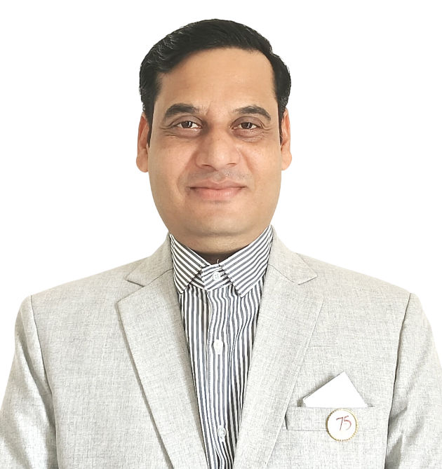
Dr. Dr. Ajoy Das
Cartographer at Gujarat University
Dr. Ajoy Das has a keen interest in maps since he was an undergraduate student. He has a Bachelors in Geography with specialization in Pedology from The University of Burdwan, a Masters in Geography with specialization in Agricultural Geography from CSJM University, PGD in Geoinformatics with specialization in Water Resources Management from West Bengal University of Technology, MTech in GIS with specialization in Natural resources conservation and management through participatory approach from NIIT University, and a Ph.D. in Geography with specialization in Wetland biodiversity conservation and management from Gujarat University, India. He is currently working as a Cartographer at the Department of Earth Sciences, Gujarat University, and sharing best practices for mapping and analysis with modern GIS, Remote Sensing, and GNSS technologies. He publishes and presents worldwide on many aspects of mapping and GIS. His working areas are natural resources management, biodiversity conservation, Hydro-Geomorphology, terrain analysis, and spatio-temporal modeling, addressing critical and contemporary issues on climate change impact, Disaster risk resilience on Earth and its environment.