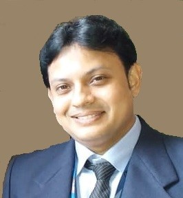
Surya Deb Chakraborty
MBRSC Lab
Dr. Surya Deb Chakraborty is an accomplished Analyst at the MBRSC Lab, University of Dubai. With an impressive 14 years of experience in the field of remote sensing and GIS, Dr. Chakraborty has contributed significantly to various prestigious organizations, including ESRI, ICRISAT (under the UN), NRSC (ISRO), MNCFC, Regional Remote Sensing Centre (ISRO), and IISc-ISRO Space Technology Cell. Dr. Chakraborty has a proven track record in geospatial training, having conducted 400 specialized sessions on ArcGIS Desktop, ArcGIS Pro, ENVI, SARscape, and SNAP for government agencies, private enterprises, and academic institutions. His training expertise extends to diverse groups, from small teams of three to large batches of up to 80 participants. Academic Credentials: Ph.D. in Geo-Engineering – NRSC (ISRO), Andhra University M.Tech in Remote Sensing & GIS – Indian Institute of Remote Sensing (IIRS, ISRO) M.Sc. in Geography – CSJM University, Kanpur Diploma in Remote Sensing & GIS – Jadavpur University Achievements & Research Focus: Recipient of the Young Scientist Fellowship Award – KIT, Germany (2015) Specializes in urban anthropogenic heat flux estimation, watershed management, and agricultural applications using optical and microwave data Expert in advanced remote sensing data processing, including Thermal, Hyperspectral, LiDAR, and Microwave data analysis Dr. Chakraborty is deeply passionate about leveraging geospatial technology to solve real-world challenges and is dedicated to ongoing research and collaboration in the field. His expertise and contributions continue to make a significant impact in remote sensing and GIS applications.